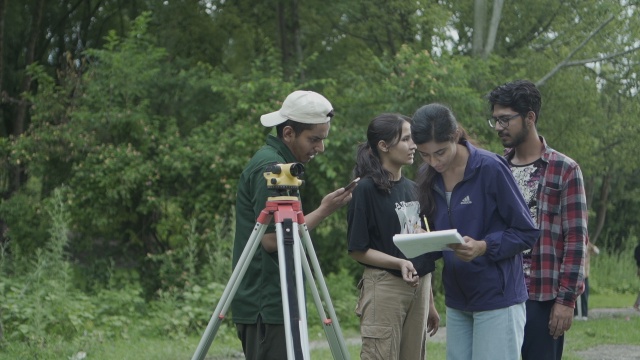
Cadastral boundary demarcation and preparation of a landowner database for landless and informal settlements using drones, DGPS, and ArcGIS to uplift and build the capacity of the officials of the municipality. We believe that with our proven experience of working with the local government to train the engineer, we have an excellent expert who can deliver the required services with the highest quality
Technical Person with preferably engineering background.
SYLLABUS IN DETAILS
Module I: Establishing control points using DGPS
- This module covers the use of differential global positioning system (DGPS) technology to establish precise control points in the field. Topics may include equipment setup, data collection and processing, and error analysis.
Module II: Demarcating public, private, forest, and other boundaries on drone imagery
- This module focuses on using drone-based remote sensing to identify and mark boundaries of different types of land, such as public, private, and forested areas. Topics may include selecting the appropriate drone and sensor setup, data acquisition and processing, and analysis and interpretation of the resulting images.
Module III: Preparing a field book and managing it
- This module teaches students how to create and maintain a field book, a crucial tool for organizing and recording survey data. Topics may include formatting and layout, data entry and management, and best practices for keeping the field book accurate and up-to-date.
Module IV: Preparing a field book and managing it
- This module covers the process of creating a trace, or map, of individual parcels of land. Topics may include data collection, digitization and mapping, and presentation of the final trace.
