COURSE DESCRIPTION
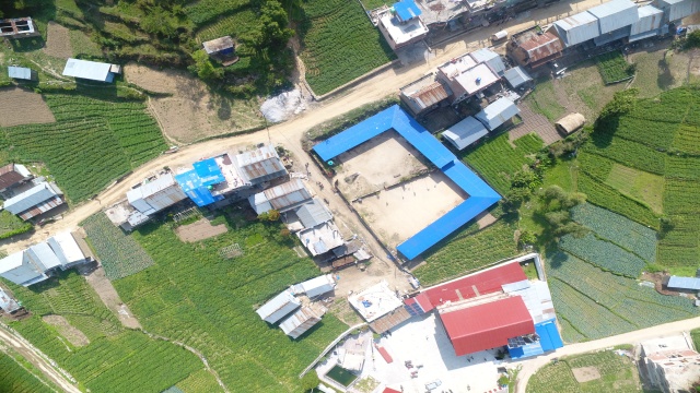
The workshop on Drone Surveying and Mapping facilitates on the use of a drone, or unmanned aerial vehicle (UAV), to capture aerial data with downward-facing sensors, such as RGB or multispectral cameras, and LIDAR payload and image processing.
WHO SHOULD ATTEND?
- Civil Engineers & Designers
- Aspiring Civil Engineering students
- Contractors & Consultants
- Government Technical Officers
- Academician & Other Enthusiast
REQUIREMENTS
Technical Person with preferably engineering background.
SYLLABUS IN DETAILS
Module I :
- Introduction to Drone and drone regulation in Nepal
- Introduction to drones, Drone types and History
- Introduction to drone safety regulation and payload consideration
- Drone regulation in Nepal and flight permission
- Introduction to Photogrammetry Principle of Photogrammetry
- Photogrammetric geometry
- Photogrammetric procedures
- Geo referencing and spatial reference system
Module II:
- Introduction to aerial surveying
- Hardware and sensor selections I
- Introduction to data types and resolution (Vector and Raster )
- Map accuracy and factors that improve Map accuracy
- Consideration of Ground control points in aerial survey
- Introduction to flight control software
- Best practice for mapping and surveying
Module III:
- Multi rotor Done assembly and drone handling
- Image and video acquisition with drone Fight
- Planning procedure and safety consideration
- Data acquisition and surveying
Module IV:
- Introduction to image processing software and computer hardware requirements
- Hands on exercise on image processing software I
- Introduction to QGIS and cloud compare
- Overview of QGIS layout
Module V:
- Working with Raster (geotiff) and Vector data (.shp)
- Create new shape file and add attributes
- Export GIS files (.shp to CAD file formats
- Export GIS files (.shp to excel file (.csv)
- 3D visualization
